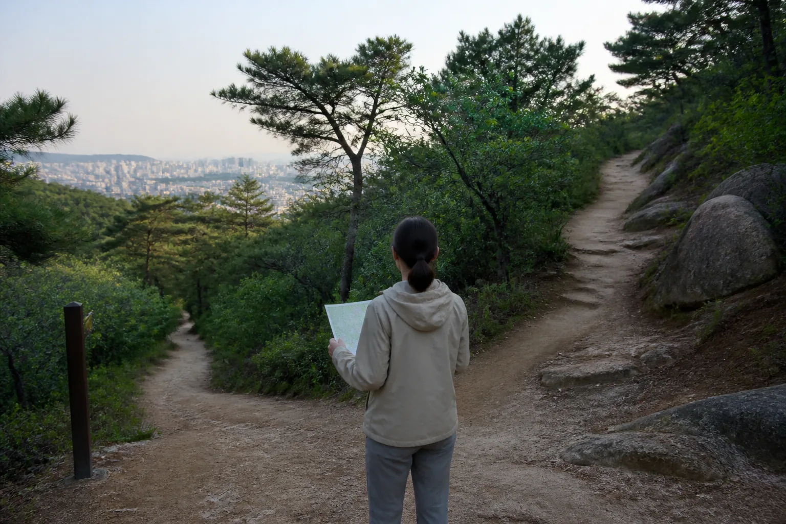
Korea decision guide
Beginner Seoul hike picker
Choose a source-described Seoul walking route by route character and the time you can reserve, then recheck conditions before leaving.
Best when
You want a first comparison between a short barrier-free trail, a gentle city-view hike, and a longer trail with graded sections.
Skip if
You need a live closure notice, a universal accessibility or safety guarantee, medical or fitness advice, or a route decision made without checking the day’s conditions.
Compare options
Seodalsan Jarak-gil
Best for: A 463 m barrier-free Jarak-gil option at 179 m Seodalsan when the official recommendation is the reason for considering the route.
Tradeoff: The official page names children, older adults, pregnant women, wheelchair users, and strollers; that wording does not replace a personal, same-day assessment.
Verify: Use the official page’s Line 7 access information and recheck route availability, weather, daylight, and your onward travel before departure.
Inwangsan
Best for: A relatively gentle, easy course for novices when city views and a nearby café stop matter to the day’s shape.
Tradeoff: A novice-oriented description is not a promise about surfaces, weather, crowding, closure status, or how the route will feel for you.
Verify: Confirm the current approach, daylight, weather, and any local trail notices before you commit to the hike or a café stop.
Seonbawi Trail
Best for: A 1.84 km route with an official estimate of about 1 hour 10 minutes when you want a marked-route duration to plan around.
Tradeoff: The official page lists section difficulty ratings and cautions that the summit area is narrow.
Verify: Check weather, daylight, current access, footwear, and whether the narrow summit area suits your own turn-back judgment.
Decision flow
How should you narrow the hike?
- Start with route character and official duration
- Check current weather, daylight, access, and closures
- Choose marked sections and turn back when conditions no longer fit
Limitations
- These official visitor pages are planning orientation, not a live trail-condition, emergency, medical, or fitness assessment.
- Weather, daylight, closures, route surfaces, footwear, pace, and turn-back judgment can change what is appropriate on the day.
KOREA MODE editorial planning, not firsthand reporting; live official notices and your own judgment take priority over this comparison.
Sources and review
- Seodalsan — Visit Seoul
- Sweeping Views of Seoul: Inwangsan Mountain — Visit Seoul
- See Incredible Rock Formations: Seonbawi Trail — Visit Seoul